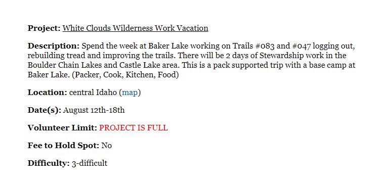
 BCHI Pack Support: Trail 17.4 miles round trip, 2,751 foot elevation gain
Location: Baker Lake – Little Boulder Creek Trail Head – East Fork Salmon River
Project Discription Map1 Map2 Map3
Contacts: Jay Dorr (USFS) & Jeff Halligan (ITA)
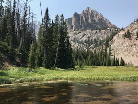
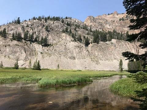
The Cecil D. Andrus-White Clouds Wilderness is part of the Sawtooth National Recreation Area and was designated a wilderness area in 2015. It is situated along the Salmon River adjacent to the Salmon River Mountains in the Salmon-Challis National Forest and to the north of the Hemingway-Boulders Wilderness and the Jim McClure-Jerry Peak Wilderness. The Cecil D. Andrus-White Clouds Wilderness is a special area due to its combination of sub-alpine lakes, abundant creeks, hiking trails and the limestone and metamorphic silicates which give the mountain peaks its striking white appearance. There are numerous spectacular mountain peaks includinf Propsect Point, Robinson Bar Peak, Lookout Mountain, Watson Peak, O’Calkens Peak, David O. Lee Peak, Merriam Peak, Castle Peak and Blackman Peak, many of which are over 10,000 feet in elevation. There is incredible fishing in the dozens of clear sub-alpine lakes in the area including the Big Boulder Lakes and Boulder Chain Lakes, The Cecil D. Andrus-White Clouds Wilderness is host to many beautiful creeks including Blind Creek, Elk Creek, Warm Springs Creek, Beaver Creek, Germania Creek, Little Boulder Creek, Chamerlain Creek, Bear Lake Creek and many more. The hiking season is short with the alpine wildflowers bringing the area alive with color in the months of July and August. There are fabulous opportunities for viewing the scenery, plants and wildlife in this beautiful and very special wilderness. The Cecil D. Andrus-White Clouds Wilderness offers opportunities for recreational, scenic, scientific, educational, conservation and historic purposes. Motorized vehicles and bicycles are not allowed in any designated wilderness areas. MAP:
History of Mining in the area and how the SRA came to be! MINE MAP Baker Lake Claim
 On Friday August 10 Jeff and Rob drove up to the Little Bolder trail head to secure camping space for the rest of the BCHI crew, Phil Ryan, Bill Conger, Janelle Week & David Benson. On Saturday Phil, Bill & Janelle drove up. David truck broke down east of Lowman and he had an adventurous weekend getting his stock home and his truck into a repair shop.The drive is around 4 1/2 hours from Horseshoe Bend, all but the last 3 miles on good paved roads.
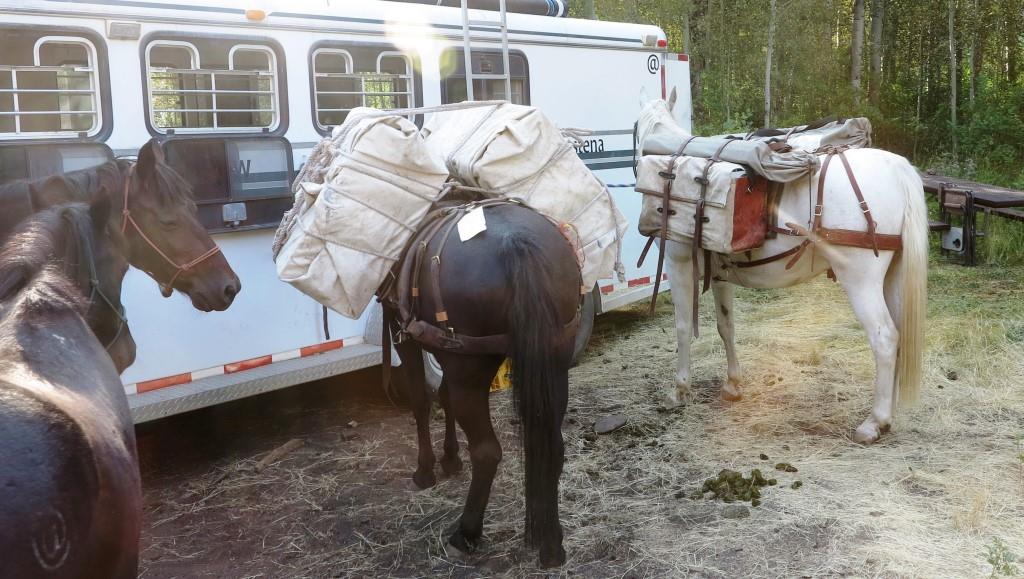
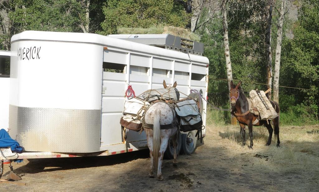
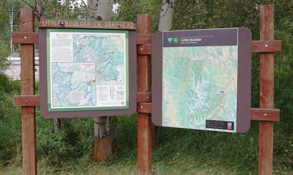 On Saturday Rob and Jeff each packed up three pack stock and took the kitchen and tools up the mountain.
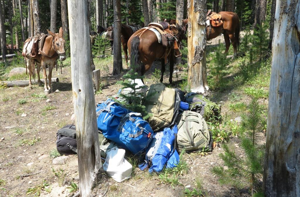
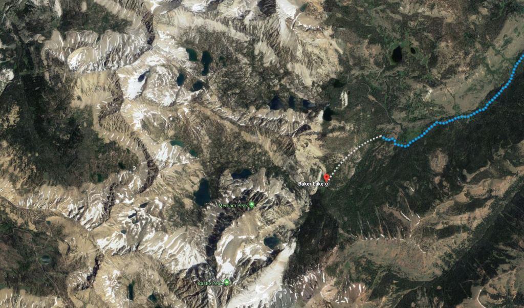
 When we got back to the trail head, the rest of the team was setting up. We grilled steak and potatoes for dinner and were in our sleeping bags early as we knew we would have a busy day on Sunday.
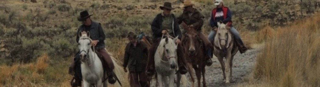
 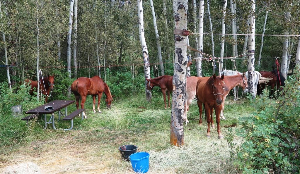 The ITA volunteer crew started arriving right after we had breakfast and it didn’t take long to pack up their stuff. The ITA crew received a pre-project briefing while we loaded our stock and got headed up the mountain
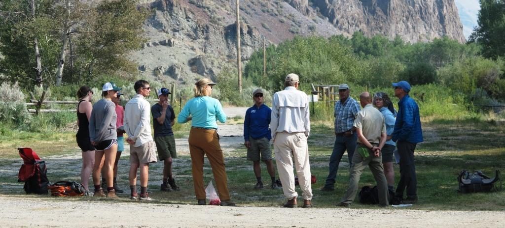
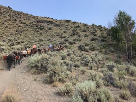
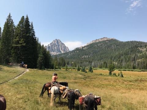
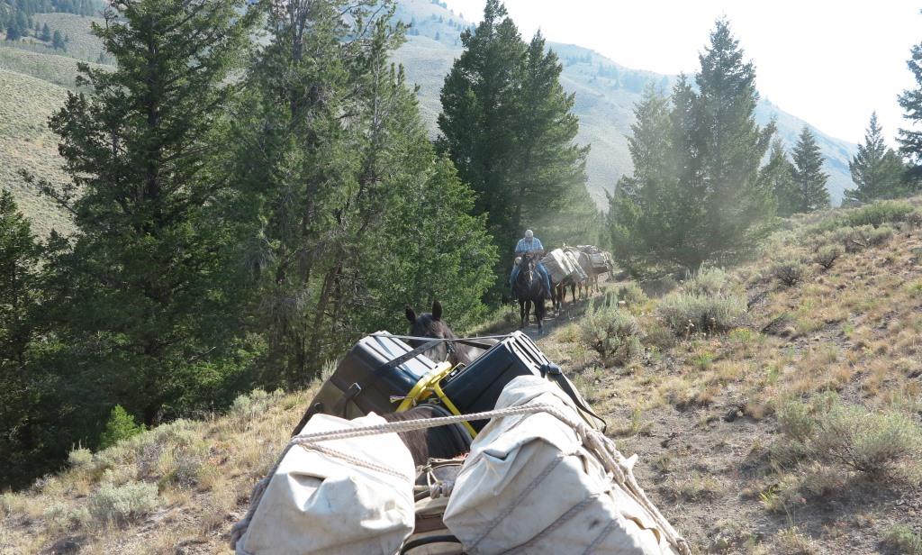
The BCHI crew made good time up the 8.7 miles and 2571 elevation gain to the camp site at Baker lake and had our stock unloaded and a quick lunch before heading back down the trail.
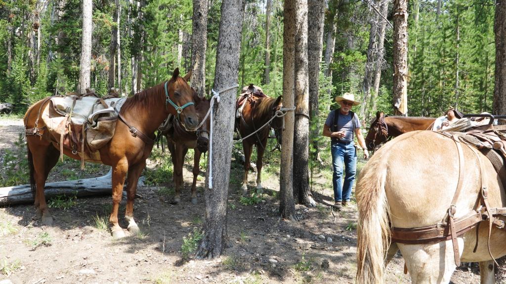
 Back in camp the stock napped in the shade while we enjoyed a cool beverage and shared stories.
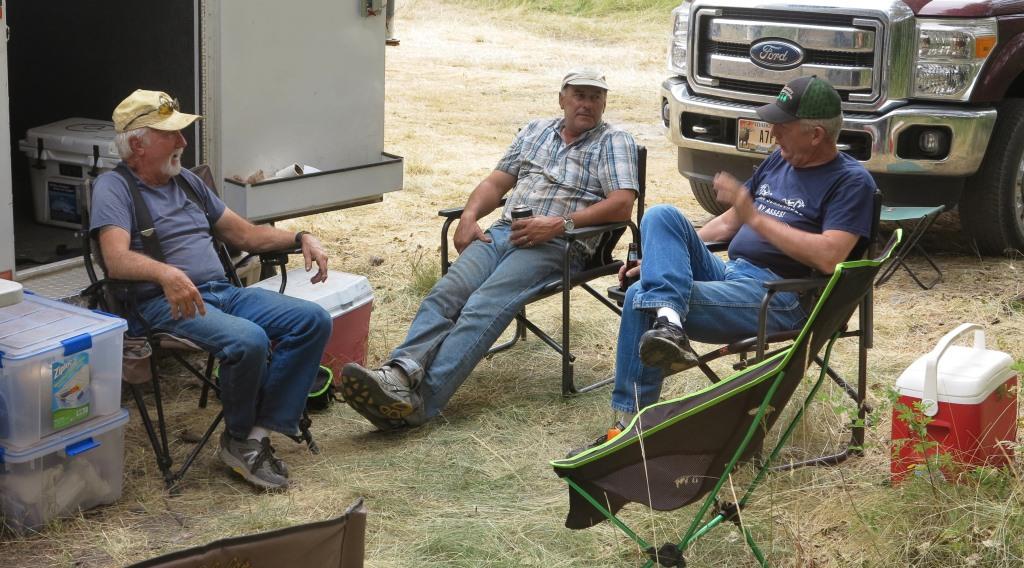 On Saturday August 18 we will again be riding out of the trail head to pick up the ITA crew. More to Come!