Nearly four years after then-Interior Secretary David Bernhardt issued an order to allow eBikes to use the same trails in the National Park System that are open to muscle-powered mechanical bikes, the National Park Service is taking a nationwide look at the impacts of those bikes as required under the National Environmental Policy Act.
The move to conduct the study was required by a court ruling last May that said the Park Service acted in an arbitrary and capricious manner in 2019 in opening parks to eBikes.
In an evening directive, Bernhardt in August 2019 had decreed that “E-bikes shall be allowed where other types of bicycles are allowed; and E-bikes shall not be allowed where other types of bicycles are prohibited.”
In issuing the order, Bernhardt said the decision “simplifies and unifies regulation of electric bicycles (e-bikes) on Federal lands managed by the Department and also decreases regulatory burden.” In the wake of that ruling, the acting director of the Park Service, P. Daniel Smith, issued a directive ordering parks to treat e-Bikes “used for transportation and recreation in a similar manner to traditional bicycles” without requiring either an environmental assessment or more strenuous environmental impact statement examining any natural resource impacts from the decision.
However, this approach generated concern from groups that said the National Park Service needed to conduct environmental studies, as required by NEPA, before approving the use of eBikes in the park system.
Kristen Brengel, the National Parks Conservation Association’s senior vice president of government affairs, told the Traveler at the time that implementing a change in where motorized vehicles, including eBikes, can go in the park system requires the Park Service to embark on a rulemaking process, as required under 36 CFR 1.5.
Except in emergency situations, a closure, designation, use or activity restriction or condition, or the termination or relaxation of such, which is of a nature, magnitude and duration that will result in a significant alteration in the public use pattern of the park area, adversely affect the park’s natural, aesthetic, scenic or cultural values, require a long-term or significant modification in the resource management objectives of the unit, or is of a highly controversial nature, shall be published as rulemaking in the FEDERAL REGISTER.
“If eBikes are to be used on trails already designated for bikes, that is completely contrary to the Park Service’s current policy,” said Brengel, adding that a change in policy should be formally reviewed to ensure there are no conflicts with existing user groups.
“How does this affect the rest of the public visiting a park? We want to make sure everyone has a great experience,” she added. “What does (an eBike) do to everyone else’s experience there? That’s why there needs to be a rulemaking and public comment. Depending on what this policy says, it could be completely violating the Park Service’s own regulations and policies.”
Public Employees for Environmental Responsibility went to court over the Park Service’s action, and that led to last May’s ruling against the agency.
“[T]he Smith Directive attempted to avoid conducting any environmental analysis because the park units would do so, and the park units in turn largely declined to conduct additional analysis because the Smith Directive had already suggested that the change was minimal,” Judge Rudolph Contreras wrote in ordering the NEPA review.
While the Park Service would later implement a Final Rule formalizing the “Smith Directive” with some changes, the judge said that the final rule, by failing to require either an environmental assessment or environmental impact study, “commits the classic NEPA error of considering only the effects of what a policy actually directly authorizes rather than the reasonably foreseeable impacts of a policy.”
The Park Service, the judge, “appears to have ‘simply assumed there were [no impacts] because the Final Rule did not authorize any impacts.’”
That ruling led to Tuesday’s announcement by the Park Service that it was preparing a programmatic environmental assessment to evaluate the potential national-level impacts of electric bicycle use in national parks. The comment period is open from June 21 to July 21.
In announcing that review, the agency said that, “E-bikes can have many benefits for parks and visitors including making travel easier, expanding access for those with physical limitations, and providing healthy recreation opportunities. At the same time, the NPS must manage this emerging form of access and recreation, like others that occur in park areas, in a manner that protects park resources, values, and visitors. The PEA evaluates potential impacts to natural and cultural resources, and visitor use and experience, and wildlife on a national scale.”
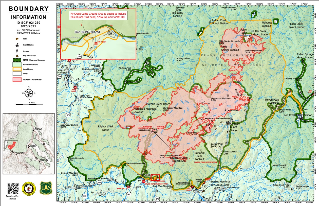
Currently, NPS regulations authorize park superintendents to allow eBikes, where appropriate, on roads and trails where traditional bicycles are allowed. Public lands designated by Congress as “wilderness areas” remain off-limits to both traditional bicycles and eBikes.
How to provide feedback:
Note that comments will not be accepted by fax, email, or in any way other than those specified above. Comments delivered on external electronic storage devices (flash drives, compact discs, etc.) will not be accepted. Bulk comments in any format (hard copy or electronic) submitted on behalf of others will not be accepted.


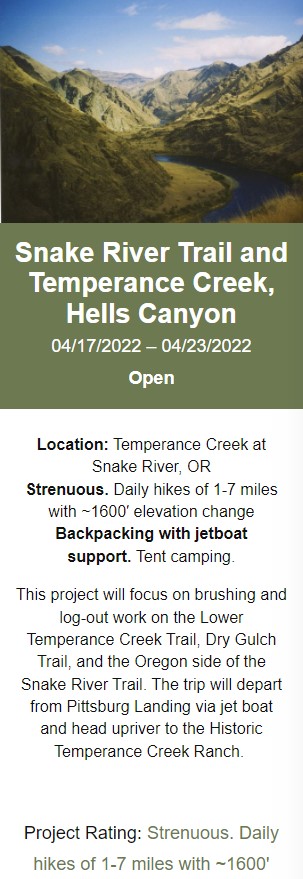
 READ MORE
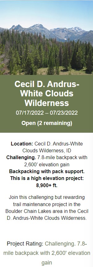


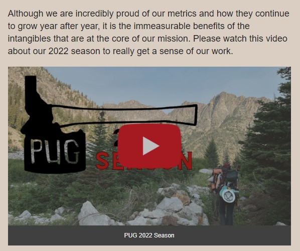


 Watch Video
