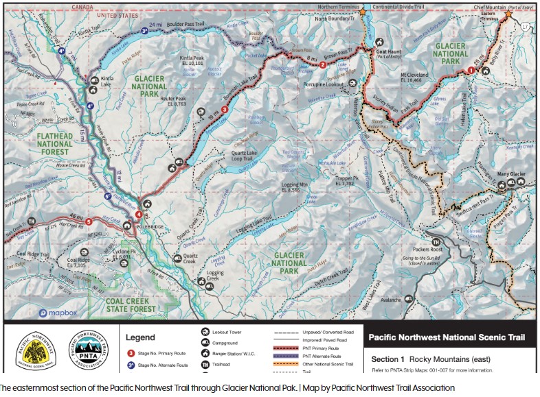
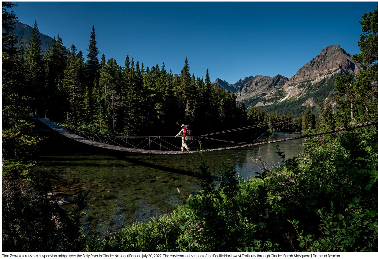
From the Chief Mountain port of entry on the Montana-Canada border, a dedicated hiker can follow a series of backcountry trails, bike paths, old rail beds, paved roads, bushwhacks, and cow paths, all the way to the beach of Cape Alava, Wash., the westernmost point in the continental United States.
This stitched-together route connecting Glacier National Park and Olympic National Park, known as the Pacific Northwest Trail (PNT), stretches 1,200 miles, “from the Rockies to the sea,” crossing seven National Forests, six wilderness areas, and three national parks, as well as tribal, municipal, and private lands in Montana, Idaho and Washington.
In December, the U.S. Forest Service released the final version of the PNT comprehensive plan, a document which outlines a vision for the non-motorized trail and provides guideposts for management, conservation and use into the future. The trail has only existed in its official capacity for 15 years, and like other early national scenic trails “much more work is needed to complete the optimal route from end to end,” the plan states.
“With the comprehensive plan in place, new trail locations can be studied, and new trail segments will be constructed as conditions allow,” Pacific Northwest Acting Regional Forester Liz Berger said in a press release. “This will enable the trail to evolve and adapt to changing needs and environmental considerations, ensuring its sustainability for future generations.”
The PNT was first proposed and completed in the 1970s but wasn’t officially designated as a National Scenic Trail by Congress until 2009, joining other long-distance hiking staples like the Pacific Crest Trail, the Appalachian Trail and the Continental Divide Trail, the latter of which also has a terminus on the Montana-Canada border in Glacier Park.