
The first time I showed the app to someone who had never used it, I had to gently extract my phone from the person’s hand. This happened the second time, too, and was followed by an email requesting the name of “that mapping program.”
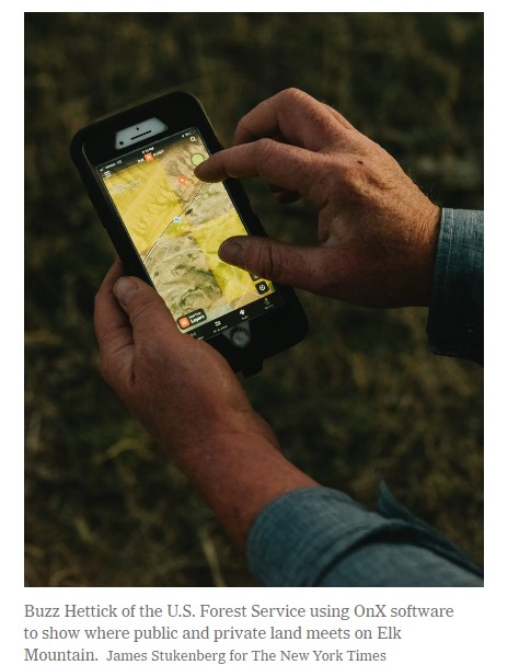
The app is called OnX. Its basic functionality is simple: OnX shows you where you are in real time, using a blue dot exactly the same as the one on Google Maps. The difference is that OnX is designed to show where you are in a forest, on a mountain or in a canyon. It has been around since 2009 and is popular with hunters and outdoor enthusiasts.
It is also at the root of a potentially far-reaching case in federal court in which a Wyoming landowner accuses four hunters of trespassing — and causing millions of dollars in damage — even though they never stepped foot on his land.
OnX was born when Eric Siegfried, a mechanical engineer and part-time hunting guide in Montana, decided to make a Google Maps for the wilderness. He had solid navigation skills, he said, but was sick of getting lost.
To address the problem, he filled up a workspace in his wife’s scrapbooking room in Missoula with U.S. government maps, which he then loaded onto a microchip. OnX’s layers of data would eventually include everything from wind patterns to fire histories. The most important data by far, however, showed property lines.
This is because hunters, more than any other type of outdoor recreationist, need to be aware of whose property they are on, as Hal Herring, a journalist and public lands activist, explained to me.
 READ MORE
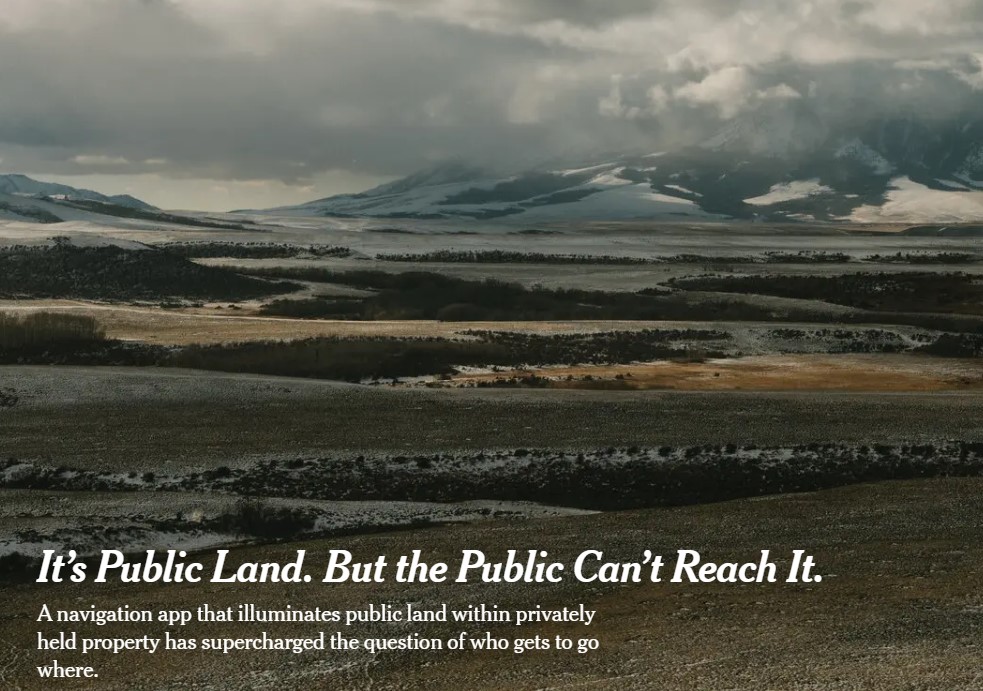
Its public land but you can not reach it