Boise Foothills hikers and cyclists can now check trail conditions before leaving the house.
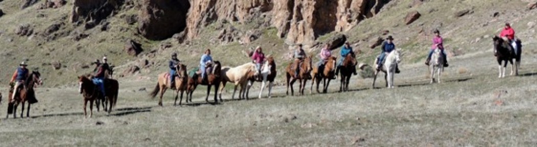
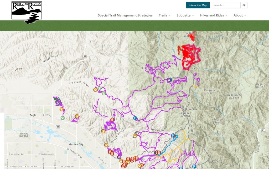
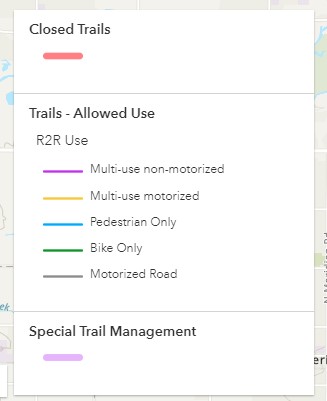
Ridge to Rivers, the group that manages the Foothills trail system, created an interactive map with live updates on specific trail conditions. The map will tell users if a trail is dry, snowy, muddy, or frozen, when it thaws, and when to stay off. It also gives a trail description along with who or what is permitted, such as off-leash dogs, horses, or bikes.
Ridge to Rivers says that using trails when they are muddy is the leading cause of damage in the Boise Foothills because of the high clay content in the ground. Trail widening, rutting and erosion are common outcomes when using wet trails.
“Displaying up-to-date trail conditions on the interactive map will allow users to make informed decisions when planning a hike or ride during the muddy trail season,” said Ridge to Rivers Manager David Gordon. “With more than 200 miles of trails throughout the system, there are great alternatives and all-weather options for folks to utilize when temperatures drop, and wet weather moves in. This new interactive map feature will help guide those decisions.”