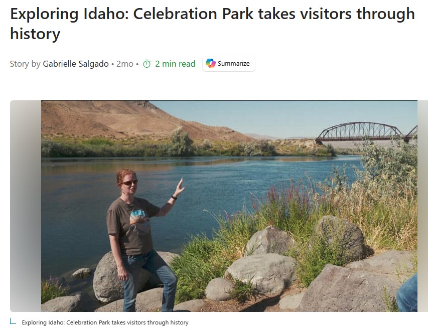
Celebration Park in Canyon County takes visitors on a journey through history, dating back 17,000 years.
Running along the Snake River, the park’s history starts with the geological event that shaped the landscape, the Bonneville Flood.
“A volcanic eruption, they think, diverted more water into Lake Bonneville, causing it to go up higher and hit a soft sediment layer at Preston, Idaho, and then it burst through and went up to the Snake River,” said Nichole Schwend, Canyon County director of culture and natural resources. The prehistoric flood knocked down basalt columns. The pressure from the water rounded the columns into boulders, Schwend said.
The Shoshone, Bannock and the Northern Paiute people later chiseled petroglyphs onto the boulders, Schwend said. The meaning of the petroglyphs is up for interpretation.
“We can’t say for sure what any of them mean,” Schwend said. “You can split those into abstract which nobody agrees on, and then you could talk about them in representational which everyone kind of agrees on.”
The images on the rocks appear to change daily based on the angle of the sun, Schwend said.
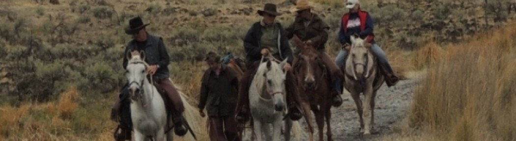
For those looking for interactive history, Celebration Park also has atlatl throwing. An atlatl is a Native American spear-like weapon used for hunting. The atlatl predated the bow and arrow.
“These are generally the hunting tool that came before the bow and arrow,” Schwend said. “Sometimes when the bow and arrow arrived in areas it completely replaced the atlatl, other times they overlapped.”
Today, visitors can attempt to shoot a mammoth on hay bales.
On the other side of the park stands the Guffey Railroad Bridge, connecting Canyon and Owyhee counties.
The bridge was built in the late 1890s to transport iron ore from Owyhee County to Canyon County through an electric railroad, Schwend said. When the bridge was completed, it was the tallest railroad bridge in the country.
Unfortunately, the bridge came too late.
“The mines panned out,” Schwend said. “A load of ore never went across.
After the mining rush, the bridge was used to transport livestock. It is said to have carried more livestock than any other rail line in the west.
In the 1940’s Union Pacific pulled all train rails from the bridge, and Owyhee County made plans to scrap the bridge entirely for safety reasons, Schwend said.
“This just became a bridge with huge eye beams across for a long time, and they were worried that, you know, it was inviting somebody to get hurt,” Schwend said.
The bridge was saved by the Idaho Historical Society, which later sold it to Canyon County for a cheap price.
“They bought the bridge from Owyhee County and Tom Bicak, who’s the one who created this, this park here, he knew immediately that he needed that bridge,” Schwen said. “They agreed to sell it to him for $1.”
Today, the bridge is used as a pedestrian bridge, connecting Canyon County to hiking trails on the Guffey and Black buttes.