The Great Basin Complex Incident Management Team has taken command of the Rock Fire as of Saturday morning.
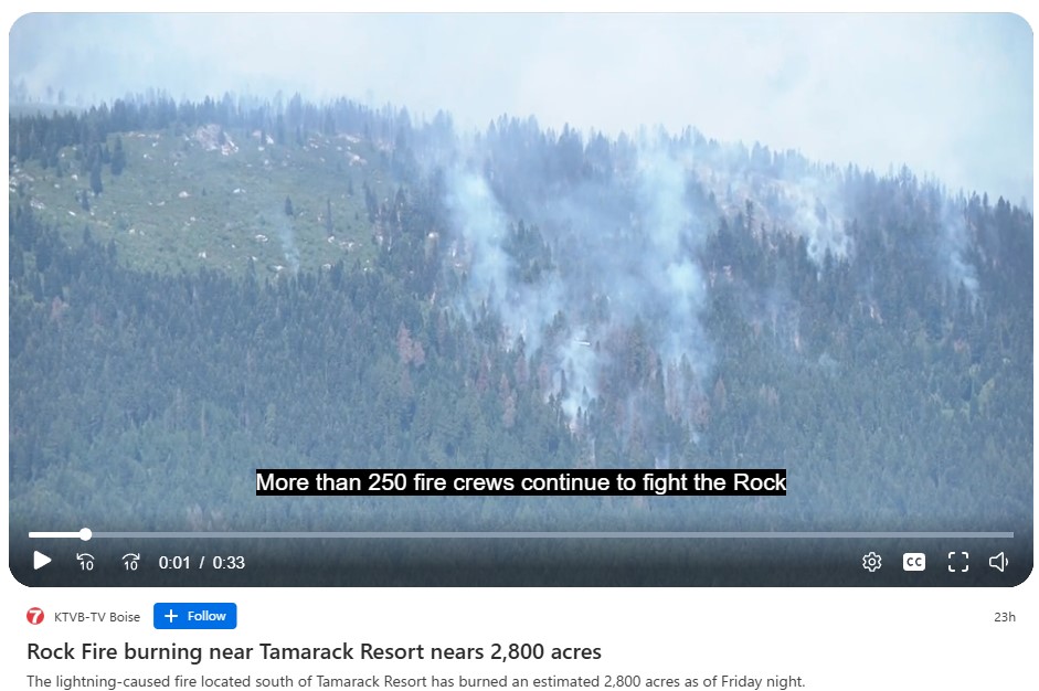
Firefighters are making significant progress by utilizing natural terrain, dozer lines, and hose lays to directly attack the fire where conditions permit. Crews near Tamarack Resort are aggressively targeting and extinguishing hot spots while reinforcing control lines along Forest Road 346 and the Tamarack Ski Run “Bliss Run.”
On the west side, the fire has reached ponderosa pine stands, where crews are working directly on the fire’s edge. On the south side, dozers and engines are strengthening containment lines and bringing water into the area to extinguish remaining hot spots. Along the southwest flank, crews are connecting dozer lines to increase containment. On the east side, firefighters are constructing indirect lines to build containment away from the active edge using dozer lines and Forest Road 346 to get ahead of the fire in steep, challenging terrain dominated by subalpine fir and mixed conifer.
Aircraft, including single-engine airtankers (SEATs), scoopers, and helicopters, are supporting ground crews with water and retardant drops. A Temporary Flight Restriction (TFR) remains in place to ensure safe operations for suppression aircraft flying at low altitudes. Flying non-firefighting aircraft, such as drones, is illegal within the TFR and poses a serious hazard to firefighting aircraft.
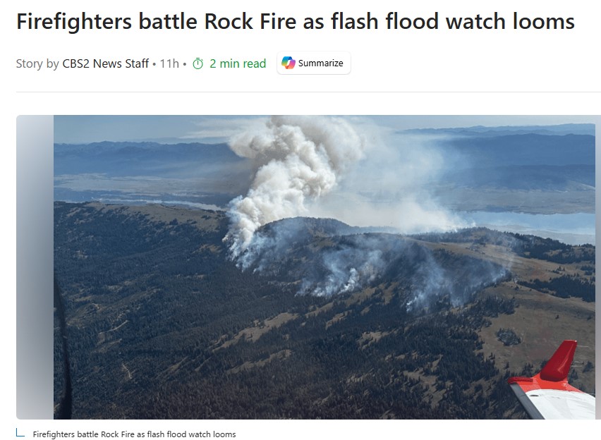
The National Weather Service has issued a Flash Flood Watch for the fire area. Recently burned landscapes are highly vulnerable to flash flooding due to the loss of vegetation and heat-sealed soils, which prevent rain from soaking in and cause water, ash, and debris to run off rapidly. Weather conditions today include minimum humidity of 30–35%, temperatures in the low-to-mid 70s, and southwest winds of 3–8 mph with gusts up to 15 mph, reaching 20 mph on ridge tops. There is a 20% chance of thunderstorms, with some storms potentially producing heavy rain and gusty, erratic winds. Winds are expected to shift to north-northwest at 4 mph Saturday night, with gusts up to 13 mph. Thunderstorm chances continue at 20%, increasing to 30% on Sunday. A drying trend is anticipated after the weekend, which could lead to increased fire activity.
Three Valley County evacuation zones remain at “Ready” status as set by the Valley County Sheriff on August 13. Residents and visitors are urged to stay alert to changing conditions and adhere to all local authority guidance.