27. February 2024 · Comments Off on SW Idaho – 4.9 magnitude earthquake felt in Treasure Valley · Categories: Current Events, Public Lands

Did you feel yesterday morning’s earthquake?

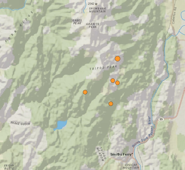
According to the United States Geological Survey, there were several. The first one, and the strongest, hit at 10:25 a.m. and had a magnitude of 4.9. It registered about six miles North of Smiths Ferry with light shaking reported in the Treasure Valley.

USGS recorded an aftershock of 2.7 magnitude at 10:45 a.m. about five miles Northwest of Smiths Ferry. Another aftershock of 2.8 magnitude about three miles Northwest of Smiths Ferry was recorded at noon.

The Idaho Transportation Department said there was rockfall in the roadway near where the earthquakes occurred but there is no indication of damage. To be sure, ITD said its crews are assessing roads, culverts, and bridges, including Rainbow Bridge, in the area.

“In the event of any damage resulting from the earthquake, ITD will provide prompt notification to the public,” ITD said in a news release. “ITD wants to reassure the community that every measure is being taken to assess and address potential safety risks from this earthquake, demonstrating our unwavering dedication to maintaining a secure transportation network for all.”

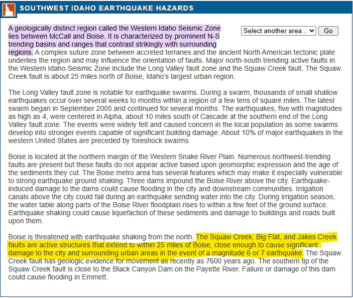
Monday’s quakes occurred in the Western Idaho Seismic Zone, which lies between Boise and McCall. The zone includes active faults such as the Long Valley fault zone and the Squaw Creek fault.

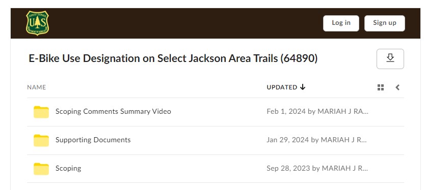
21. February 2024 · Comments Off on e-Bikes – Bridger-Teton National Forest – Comment Period · Categories: Current Events

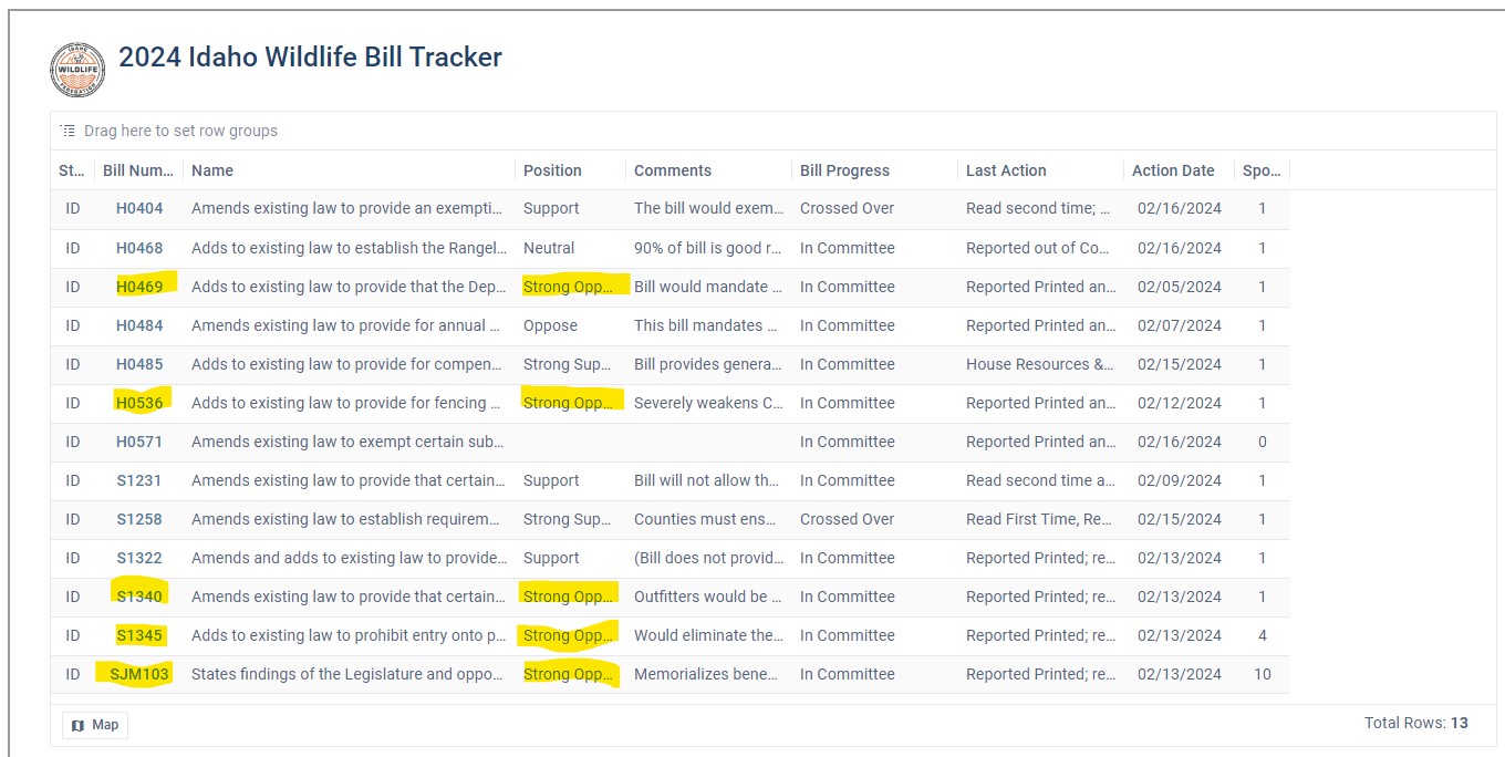
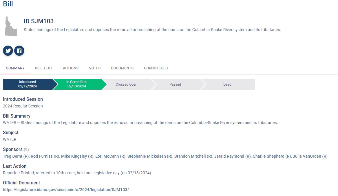
17. February 2024 · Comments Off on Idaho Wildlife Federation – Current Bills that are not in the best interest of Idaho · Categories: Around The Campfire, Public Lands

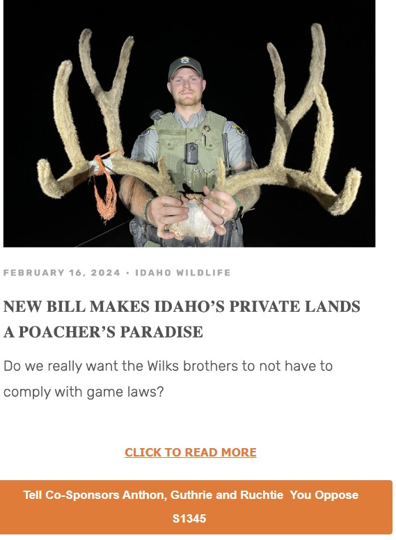
Below that, will be a series of five bills we are asking you, hunters, anglers and public land advocates of Idaho, to help IWF defeat. 

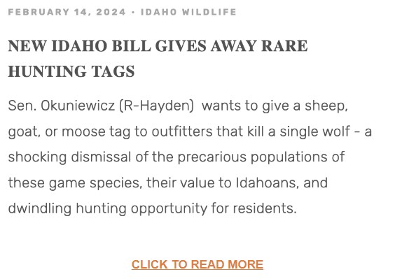
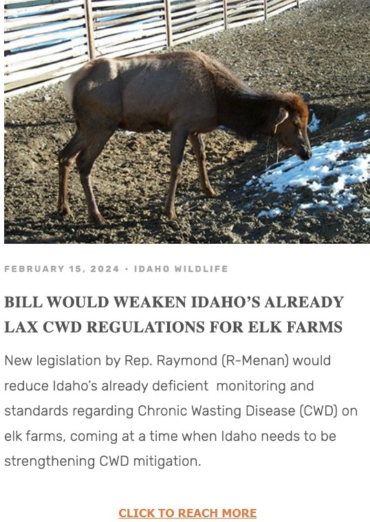
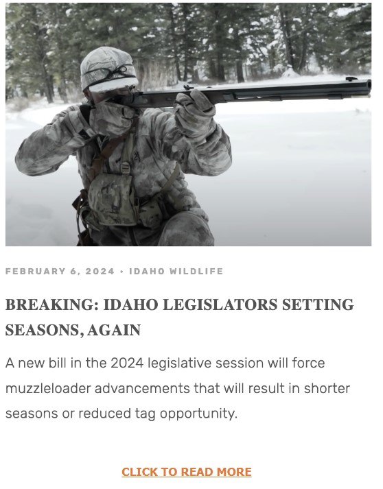
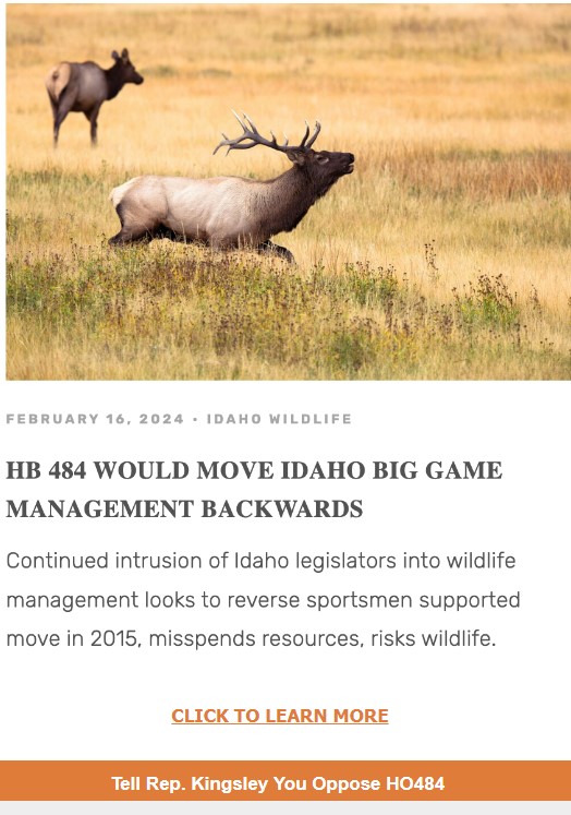
From potentially increasing poaching, reducing already deficient protections from chronic wasting disease, continued encroachment of the legislature on our wildlife management agency’s autonomy, trading once-inn-a-lifetime tags for wolves, we struggled to think of a sportsman in our state that wouldn’t be negatively impacted if these came to pass. 

IWF respects that our subscribers have different interests, and work hard to serve you with the information most important to you.

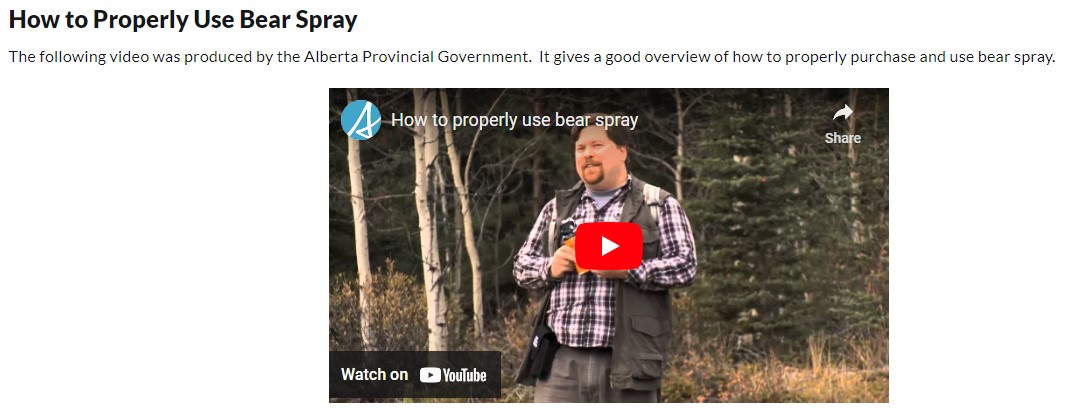
16. February 2024 · Comments Off on Education – How to Properly Use Bear Spray · Categories: Around The Campfire

Watch on YouTube

Do NOT use Bear spray from your saddle, getting it in your stocks eyes will lead to a wreck!

16. February 2024 · Comments Off on Leave No Trace / Backcountry Ethics · Categories: Education

Plan Ahead and Prepare

  • Know the regulations and special concerns for the area you’ll visit.
  • Prepare for extreme weather, hazards, and emergencies.
  • Schedule your trip to avoid times of high use.
  • Visit in small groups when possible. Consider splitting larger groups into smaller groups.
  • Repackage food to minimize waste.
  • Use a map and compass to eliminate the use of marking paint, rock cairns or flagging.

Travel and Camp on Durable Surfaces

  • Durable surfaces include established trails and campsites, rock, gravel, dry grasses or snow.
  • Protect riparian areas by camping at least 200 feet from lakes and streams.
  • Good campsites are found, not made. Altering a site is not necessary.
    • In popular areas:
      • Concentrate use on existing trails and campsites.
      • Walk single file in the middle of the trail, even when wet or muddy.
      • Keep campsites small. Focus activity in areas where vegetation is absent.
      • In pristine areas:
      • Disperse use to prevent the creation of campsites and trails.
      • Avoid places where impacts are just beginning.

Dispose of Waste Properly

  • Pack it in, pack it out. Inspect your campsite and rest areas for trash or spilled foods. Pack out all trash, leftover food and litter.
  • Deposit solid human waste in catholes dug 6 to 8 inches deep, at least 200 feet from water, camp and trails. Cover and disguise the cathole when finished.
  • Pack out toilet paper and hygiene products.
  • To wash yourself or your dishes, carry water 200 feet away from streams or lakes and use small amounts of biodegradable soap. Scatter strained dishwater.

Leave What You Find

  • Preserve the past: examine, but do not touch cultural or historic structures and artifacts.
  • Leave rocks, plants and other natural objects as you find them.
  • Avoid introducing or transporting non-native species.
  • Do not build structures, furniture, or dig trenches.

Minimize Campfire Impacts

  • Campfires can cause lasting impacts to the backcountry. Use a lightweight stove for cooking and enjoy a candle lantern for light.
  • Where fires are permitted, use established fire rings, fire pans, or mound fires.
  • Keep fires small. Only use sticks from the ground that can be broken by hand.
  • Burn all wood and coals to ash, put out campfires completely, then scatter cool ashes.

Respect Wildlife

  • Observe wildlife from a distance. Do not follow or approach them.
  • Never feed animals. Feeding wildlife damages their health, alters natural behaviors, and exposes them to predators and other dangers.
  • Protect wildlife and your food by storing rations and trash securely.
  • Control pets at all times, or leave them at home.
  • Avoid wildlife during sensitive times: mating, nesting, raising young, or winter.

Be Considerate of Other Visitors

  • Respect other visitors and protect the quality of their experience.
  • Be courteous. Yield to other users on the trail.
  • Step off of the trail when encountering pack stock. Don’t hide and talk to the Riders, restrain you dog if you have one.
  • Take breaks and camp away from trails and other visitors.
  • Let nature’s sounds prevail. Avoid loud voices and noises.
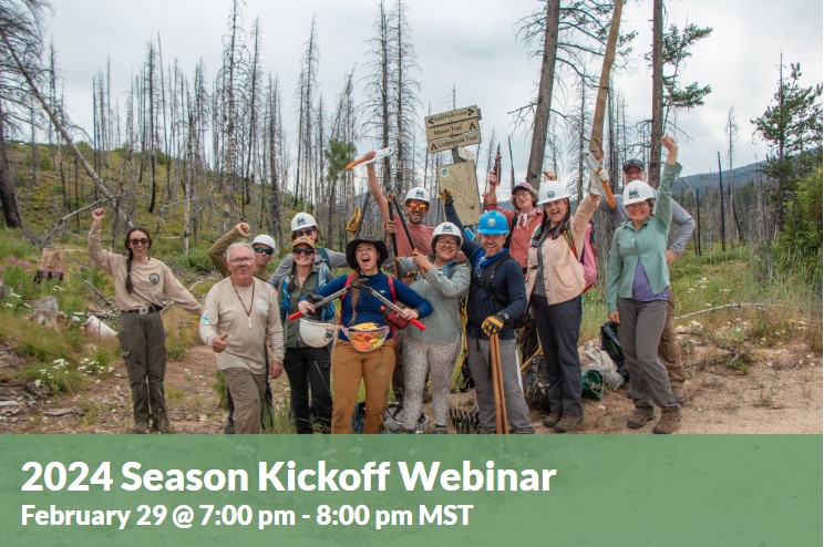
16. February 2024 · Comments Off on ITA – Upcoming Webinar’s · Categories: Education

Dust off your boots and get ready for trail season! Join us the evening before our volunteer schedule launches to learn about this year’s best projects and how you can join. Hear this season’s highlights from our Trail Projects Director Alex Cravener and Board Member and Crew Leader Tom Dabrowski. We’ll have some fun trails trivia sprinkled throughout and tips for what to expect if this is your first time out on the trail.  SIGN UP HERE

15. February 2024 · Comments Off on Public Lands – Wild and Scenic River designation · Categories: Public Lands

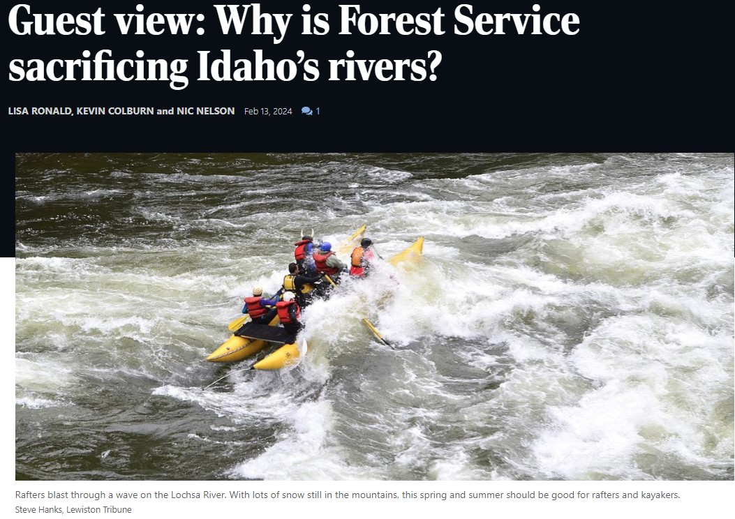
The Lochsa, Selway, and Clearwater watersheds just over Lolo Pass are home to some of the finest rivers in the United States. They offer world-class paddling and fishing, provide vital spawning grounds for salmon and steelhead, and are sources of clear, cold water in a rapidly warming world.

It’s the job of the Forest Service to protect these special values based on the streams’ eligibility for Wild and Scenic River designation.

The Nez Perce-Clearwater National Forest is instead gutting protections for Idaho’s rivers. In its recently revised forest plan, it stripped safeguards from 86 percent of rivers worthy of preserving. Across 4 million acres in central Idaho, the Forest Service is recommending just 12 streams for protection. Since Forest Plans routinely last for decades, the detrimental decisions made now by the Nez Perce-Clearwater National Forest will allow unacceptable and unnecessary impacts to rivers for generations.

In all, the new forest plan would remove protections from nearly 700 stream miles. That’s more than the length of the Clark Fork, Flathead, and Bitterroot rivers — combined. Among the waterways that would lose protections are tributaries to the Lochsa River and the North and South forks of the Clearwater River. These are the kinds of rivers the Wild and Scenic Rivers Act was designed to conserve.

The North Fork Clearwater River, which is losing protections it has had for more than 30 years, provides nearly 80 contiguous boatable miles and unsurpassed habitat for bull trout and west slope cutthroat trout. The South Fork Clearwater River, renowned for its unmatched B-run steelhead fishing, miles of walk-and-wade shoreline, and robust whitewater, is also on the chopping block.  READ MORE

Nez Perce-Clearwater National Forests Plan Revision

The current forest plans were signed in 1987. Since that time, much has changed regarding resource management of the National Forests and we are currently in the process of revising the Forest Plan under the direction of the 2012 Planning Rule to incorporate changed conditions, best available science, and new public issues.

Please select the link in the header above or any of the following links for more information about the Forest Plan Revision processthe ongoing collaborative effort, and how you can get involved.

13. February 2024 · Comments Off on Public Lands – The Case for Destroying Old Forest Roads · Categories: Public Lands

Drive high enough into western Montana’s Lolo National Forest, up a succession of dirt tracks that parallel glittering creeks and twist through stands of fir and spruce, and eventually you’ll come to a clearing. At first glance it’s unremarkable, a grassy, sunlit hillside scattered with bleached tree trunks, as though a windstorm had opened the canopy.

It would be a pleasant spot to sit with your back against a lodgepole pine and watch chickadees bounce from branch to branch. What makes this clearing extraordinary isn’t what’s there now, but what once was—a road.

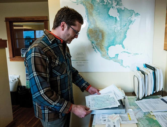
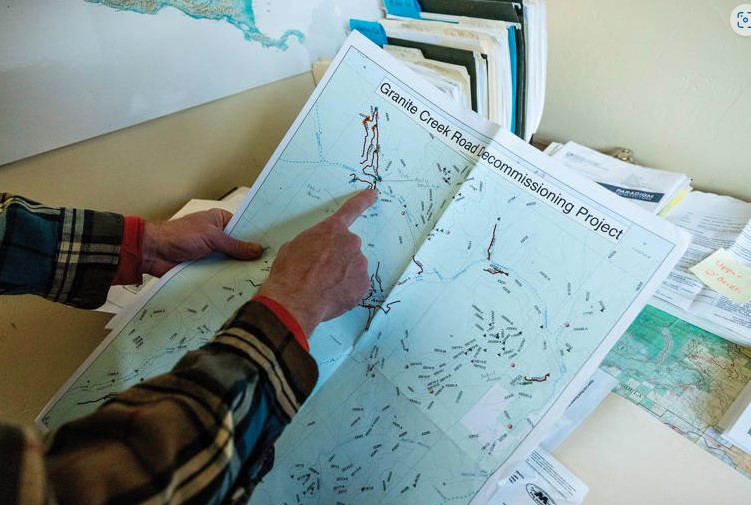
I visited the clearing one summer afternoon with an ecologist named Adam Switalski. Years ago, Switalski explained, large tracts of this land belonged to a private timber company, which had etched the forest with dirt roads to haul out wood. Eventually the logging operations ceased, and the company transferred its holdings to the U.S. Forest Service, which did little to deal with the derelict roads it inherited. The neglected roads plagued the forest, bleeding silt into streams and funneling disruptive humans into critical habitat for grizzlies, lynx and other sensitive species. Switalski held up his phone to display a map of the forest, across which the black lines of obsolete roads squirmed like parasites in a gut. “This is the kind of thing we’re dealing with,” he said with dismay.


The map is hardly unique. Roads, with their deadly traffic, noise pollution, chronic erosion and attendant humans, are among the most ubiquitous and powerful forces threatening our public lands and the wildlife and fragile ecosystems they contain. They point like “dagger[s] at the heart of any wilderness,” former Supreme Court Justice William O. Douglas wrote in his 1965 environmental treatise A Wilderness Bill of Rights. Today America’s roadless areas sustain more than 200 threatened and endangered species; elsewhere, they furnish strongholds for creatures like Amur tigers and African elephants. Yet these refuges are tragically scarce. In the contiguous United States, it’s impossible to get farther than 22 miles from the nearest road.

The Montana hillside on which Switalski and I now stood was a prime example of an unglamorous yet powerful tool for protecting our biodiversity—road removal, commonly known as road decommissioning. In the early 2000s, the Forest Service brought heavy machinery to this old logging road, ripping it up to permit new grasses, shrubs and trees to sprout from the stirred earth. Waist-high thimbleberry bushes now covered the slope, and Douglas fir seedlings plunged roots deep into the loosened soil. It seemed improbable that 30-ton logging trucks had ever trundled through here along a ribbon of asphalt-hard dirt. “One time, I was skiing with a buddy of mine around here and we passed an old road,” Switalski said as we wandered through the clearing. “He didn’t believe there had ever been one there. That’s the ultimate sign of success.”


Few people have seen more success than Switalski, who serves as project manager at a Montana-based nonprofit called the Clark Fork Coalition, named for the river whose watershed it serves. Over the last two decades, Switalski has guided road restoration’s best practices and demonstrated its value for species as diverse as black bears and cutthroat trout. For most of that period, however, his work, and the work of other would-be road removers, has been hampered by shoestring budgets and politicians ideologically opposed to road destruction. But a recent wave of federal legislation and programs has sparked a boom period for road decommissioning—one that could reshape America’s national forests.

“It is just the most exciting time in my career right now,” Switalski told me. “It’s a generational opportunity, if not the opportunity of a lifetime.” Road networks, like many cancers, tend toward exponential growth; today it finally seems possible that ours is about to shrink.

Homo sapiens, the legal scholar Jedediah Britton-Purdy once observed, is an “infrastructure species”—a creature defined by what it builds. And what we build, most of all, are roads. Some 40 million miles of roadways girdle our planet, four million of which enfold the United States. America’s interstate highways might be its grandest and most-trafficked routes, yet the country’s largest road network, and likely the world’s, is managed by the U.S. Forest Service, the federal agency that administers more than 190 million acres of public land. The Forest Service calls itself the Land of Many Uses—national forests are stomping grounds for timber companies, rangelands for ranchers, playgrounds for hunters and fishers—but it might be more apt to call it the Land of Many Roads. Around 370,000 road miles, the vast majority unpaved, lattice our national forests, enough to encircle Earth 15 times.  READ MORE

13. February 2024 · Comments Off on Public Lands – Baaj Nwaavjo I’tah Kukveni · Categories: Public Lands

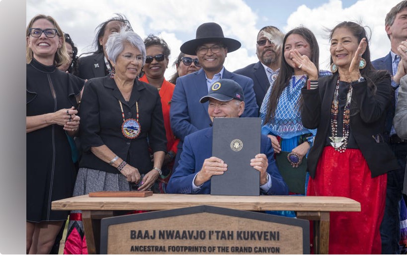
On August 9, 2023, the Southwestern Region was honored to host President Biden and USDA Deputy Secretary Xochitl Torres Small for the presidential designation of the Baaj Nwaavjo I’tah Kukveni—Ancestral Footprints of the Grand Canyon National Monument in northern Arizona.

The national monument designation (watch the C-SPAN video) builds upon decades of effort from tribal nations, state and local officials, advocates for outdoor recreation and conservation, local business owners and members of Congress. The new national monument consists of three distinct areas to the north and south of Grand Canyon National Park, totaling approximately 917,599 acres of federal lands which will be recognized and preserved in perpetuity.

These lands are at the heart of many tribes in the region, including the Havasupai Tribe, Hopi Tribe, Hualapai Tribe, Kaibab Band of Paiute Indians, Las Vegas Paiute Tribe, Moapa Band of Paiutes, Paiute Indian Tribe of Utah, Navajo Nation, San Juan Southern Paiute Tribe, Yavapai-Apache Nation, Yavapai Prescott, Pueblo of Zuni and the Colorado River Indian Tribes. The Havasupai call the land Baaj Nwaavjo, which means “where Indigenous peoples roam,” and the Hopi call it I’tah Kukveni, which means “our ancestral footprints.”

The monument area is replete with evidence of thousands of years of human habitation, including dwelling sites, pottery and lithic sites containing stone tools. Indigenous peoples continue to practice their traditional lifeways within this area, including religious ceremonies and gathering and utilizing natural resources, including those unique and exclusive to this region.   READ MORE

Arizona Republicans challenge Biden’s designation of a national monument near the Grand Canyon

The Arizona Legislature’s top two Republicans have challenged Democratic President Joe Biden’s creation of a new national monument last summer just outside Grand Canyon National Park, alleging he exceeded his legal authority in making that designation under a century-old law that lets presidents protect sites considered historically or culturally important. In a lawsuit filed Monday against Biden, Arizona Senate President Warren Petersen and House Speaker Ben Toma alleged Biden’s decision to designate the new monument under the 1906 Antiquities Act wasn’t limited to preserving objects of historic or scientific value and isn’t confined to the “the smallest area compatible with the proper care and management of the objects to be protected.”

The monument designation will help preserve 1,562 square miles (4,046 square kilometers) just to the north and south of Grand Canyon National Park. The monument, called Baaj Nwaavjo I’tah Kukveni, turned a decadeslong vision for Native American tribes and environmentalists into a reality. Republican lawmakers and the uranium mining industry that operates in the area had opposed the designation, touting the economic benefits for the region while arguing that the mining efforts are a matter of national security.  READ MORE

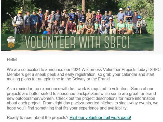
03. February 2024 · Comments Off on SBFC – Project Schedule 2024 – Trail Volunteers · Categories: Current Events, Public Lands

01. February 2024 · Comments Off on Comment period for the Boise National Forest’s Sage Hen project is open up to February 20, 2024 · Categories: Current Events, Public Lands

Comment period for the Boise National Forest’s Sage Hen project is open up to February 20.
Follow the first link below then click on the “Comment/Object” link on the right side of the page to enter or upload your comments.

Sage Hen has a limited amount of Recreation proposals in the Plan as-written, but the opportunity is still open to get on-record with suggestions.
Specifically, the district ranger has offered to consider ideas that can fit well into the existing plan scope. For instance, there could be an opportunity to utilize some of the proposed closures of road spurs for parking and walking trails. If you have any specific ideas, please comment and provide details.

Please note: This Plan is not at the final Decision Notice stage, so this is the time to get your comment in if you want to be eligible to participate during the subsequent Objection phase of the process.

Basic Analysis:
https://www.fs.usda.gov/project/boise/?project=56701
• Map centered on Project Area: https://arcg.is/iXv0y0
• Groomed OSV routes may be plowed during veg activities, coordination with Valley Co. grooming and IDPR is in the plan.
• 8.2 mi of currently-open primitive road are proposed to be closed to public motorized use. An appropriate comment would be to suggesting conversion to recreational trail particularly if such routes create loops (see maps at Project site).
• 1.0 mi Tr389 of <50″ trail is proposed to be decommissioned: Let FS know why you object or if you have an idea for a replacement trail to offset the loss.
• 5.6mi of routes are proposed to change from open-year-round to seasonal public access.
• Renwyck Creek Trailhead is proposed to be redeveloped and CXT toilet added. See https://arcg.is/5benz
• A reduction of available Authorized Dispersed Camping is proposed along NFR614.
• Fun fact: Sage Hen is home to the KYAOTT Trail. KYAOTT means “Keep Your ATV On The Trail.”
• Sage Hen Area Recreation Brochure: https://www.fs.usda.gov/Internet/FSE_DOCUMENTS/stelprdb5286976.pdf

Notable excepts from the Revised Environmental Assessment & Finding of No Significant Impact statement for the Plan (emphasis added):

Pg 11

Existing conditions are also negatively affecting areas within and between habitat patches for wildlife. Species sensitive to motorized vehicle disturbance or vulnerable to road-associated mortality are most impacted. Impacts from the spread of noxious weeds along these corridors and erosion on bare ground are other consequences of unauthorized use (see Figure 14).

Pg 12

Purpose 3: Recreation Use

[There is a need to …] Enhance recreational experiences while reducing potential for resource degradation and manage dispersed and motorized recreation to reduce user conflicts.

Need for Management Actions

The project area is one of the more popular recreation destinations on the Emmett Ranger District. As the population in the greater Treasure Valley has increased, the recreation facilities around the Sage Hen Reservoir are often at capacity. Some dispersed camp sites along National Forest System Road 614 have been encroaching into designated campground developed sites around Sage Hen Reservoir, which has been causing conflicts between users. Other types of recreational use include both motorized and non-motorized trails.

To contribute to the accomplishment of these objectives, as informed by the Forest Plan (USDA USFS 2010a, pp. III-318, III-319), there is a need to enhance existing trails and reduce impacts to other resources through re-routes and to provide safe trailhead locations. Additionally, there is a need to reconstruct the Renwyck trailhead to meet current Forest Service standards, replacing and installing information kiosks, installing vault toilet, installing barrier rock around the trailhead parking area, and placement of aggregate throughout the trailhead parking area.

To reduce user conflicts, there is a need to change dispersed camping designations between Hollywood Campground and Antelope Campground on the Motor Vehicle Use Map.

Pgs 16-17

National Forest System Road Construction

Permanent roads would be constructed on existing unauthorized routes needed for management and administrative use. Such use would provide long-term access to Forest Service lands for safe and efficient travel and for administration, use, and protection of Forest Service lands.

Road Reconstruction

Road reconstruction through realignments and aggregate surfacing would occur on approximately 6.0 miles. Such work would occur on either new road prisms or existing/abandoned road prisms to restore the original road template. Reconstruction would improve the road conditions and make them suitable for timber haul, recreational access, and/or permitted uses. The Forest Road Inventory would be updated to reflect any changes.

Road Maintenance

Roads would be maintained to implement management activities and improve existing road conditions. Road maintenance includes road prism blading and shaping, roadway vegetation clearing, roadway ditch and culvert cleaning, drainage culvert replacement and installation, water bar removal and installation, road aggregate resurfacing, dust abatement and surface repair including spot aggregate placement. Commercial users would maintain the roads commensurate with use.

Conversion of Unauthorized Routes to Forest System Roads

Approximately 0.3 miles of unauthorized routes would be added to the Boise National Forest transportation system to implement management activities and increase dispersed recreational opportunities. The addition of other unauthorized routes is associated with other proposed road realignments.

Road and Trail Decommissioning

Unauthorized roads and trails and/or abandoned templates could be decommissioned. Such work would minimize illegal motorized use, restore the road or trail area to a more natural state and minimize sedimentation and impacts to aquatic and wildlife habitat. Unauthorized routes discovered during project preparation or implementation could be decommissioned. Some unauthorized routes may be used as temporary roads during timber harvest implementation and then decommissioned. For unauthorized routes not associated with a timber sale area, routes could be decommissioned through other mechanisms.

Road Storage

Up to 3.2 miles of National Forest System roads may be placed into a state of storage or non-use status (i.e., closed to motorized public use) for an extended period to preserve the road’s integrity and protect resources. Such roads may be needed for future management use. These roads are currently open to the public; changes to their use would be reflected on the Forest Motor Vehicle Use Map.

Aquatic Organism Passage Improvement

Culverts on Pole Creek and Cold Springs Creek are immediately adjacent to critical bull trout occupied habitat. These culverts would be removed and replaced with structures and/or larger culverts to restore connectivity for aquatic organism passage.

Snowplowing

Snowplowing would occur to facilitate winter logging operations. Such work could occur on groomed routes, effectively closing them to snowmobilers, including National Forest System roads 618, 625, 653, 607, 609, 614, 626 and 644. Prior to planning and implementing project activities on groomed snowmobile routes, the Forest Service would coordinate with Gem and Valley County commissioners, the Valley County snow groomer, the Idaho Department of Parks and Recreation, and snowmobile user groups before temporarily closing any routes.

Pg 20

Recreation Management Activities

Activities proposed under this category are identical between both Alternatives A and B.

Renwyck Creek Trailhead Reconstruction and Improvement

The current trailhead is not currently well-defined. As such, unauthorized use and encroachment into the adjacent Snowbank Inventoried Roadless Area (IRA) is occurring. The trailhead would be reconstructed on the 609G road near the 609 road, clearly outside the IRA. The Forest Service proposes to reconstruct the trailhead to meet current standards, re-route the 609G road and decommission the original route, re-route the existing trail to the new trailhead, replace/install trailhead kiosks, install barrier rock around the trailhead parking area to block access to the nearby creek and IRA, place aggregate material and compact surfaces throughout the trailhead parking area, and install a vault toilet.

Kiosks may be installed at other select trailheads and access points to provide information on motorized use opportunities and responsible recreational vehicle use.

Rehabilitation of Dispersed Camping Impacts

Authorized dispersed camping along National Forest System Road 614 adjacent to and between the Hollywood Campground and Antelope Campground would be removed and the Motor Vehicle Use Map would be updated. This work would be done in response to conflicts occurring between developed and dispersed campers along this section of road.

Please inquire with any questions.

Alex Ernst  IDPR – Recreation Bureau  208-832-8412

01. February 2024 · Comments Off on Idaho Horse Council – B & V Clinic · Categories: Around The Campfire