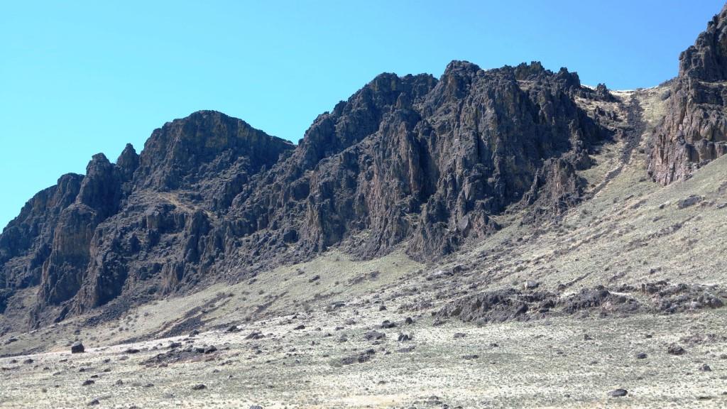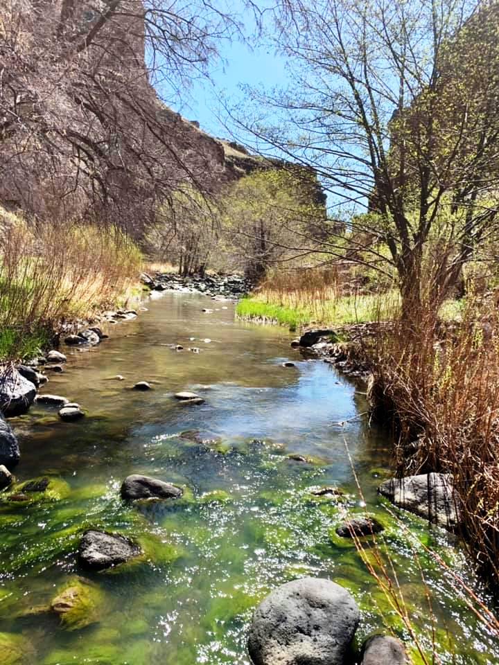

 Succor Creek State Natural Area lies in a deep, rocky canyon and is a remote haven for rock hounds and wildlife watchers. Limited souvenir collecting by rock hounds is permitted in the park. A rough 15 mile dirt road leads from Oregon 201 to the park, which has primitive camping and day-use areas along both side of the creek. No water is available.
The Succor Creek Bridge is open to vehicles for access to the campsites on the east side of the creek (right/south of the bridge). The road to the left/north of the bridge is not safe for vehicular travel. Staff and Staff Volunteers are not stationed at this site. This is a remote recreational experience, please prepare accordingly.
History
The land was obtained between 1966 and 1969 by a grant from the U. S. Government (Bureau of Land Management), and by purchase and litigation with private owners. The name Succor Creek is said to refer to early travelers in the Snake River Basin who, having been saved by the creek’s fresh water, applied the name as a corruption of the Spanish word socorro, meaning help or aid.
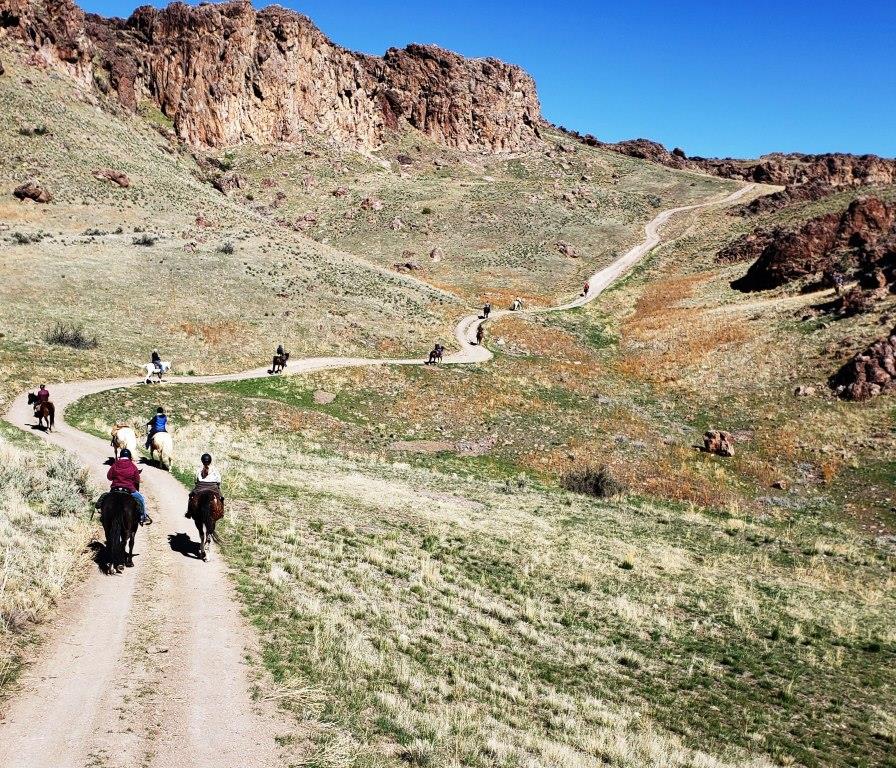
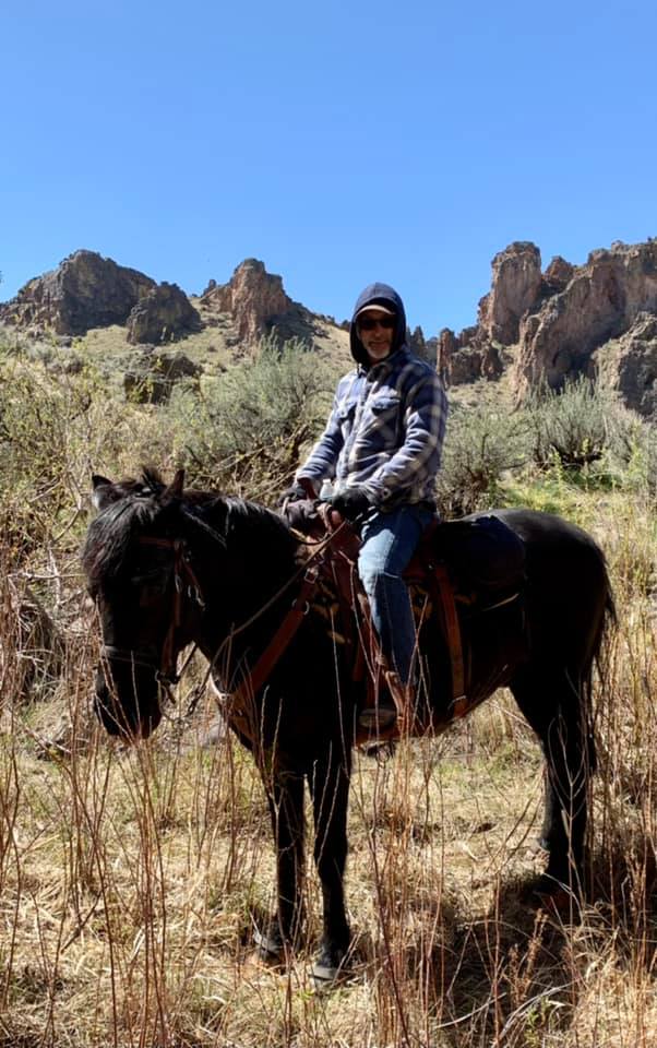
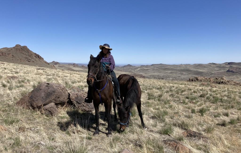
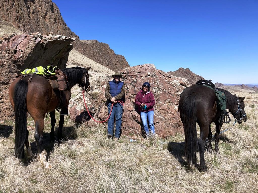
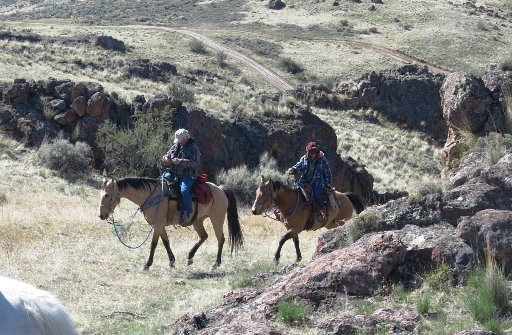
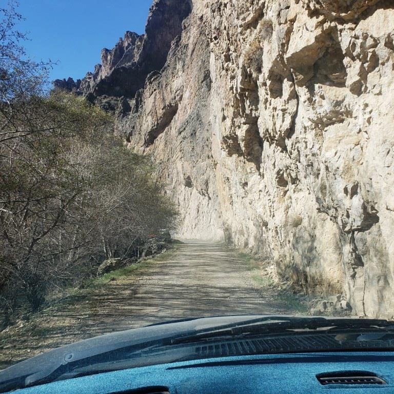 On a brisk and sunny Sunday Morning, 14 members met at the Homedale High School parking lot and then convoyed to the state park trail head. Succor Creek road is 15 miles of gravel that was for the most part in excellent shape with a few sections of washboard.
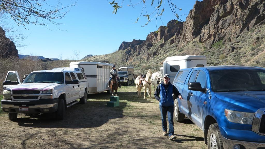

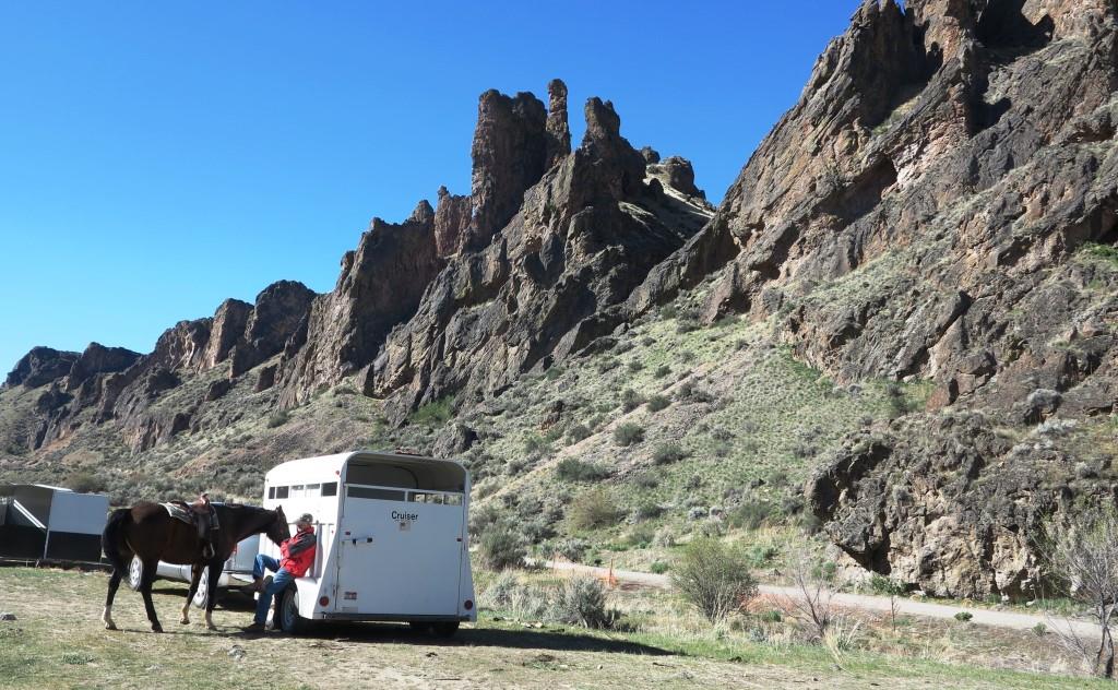
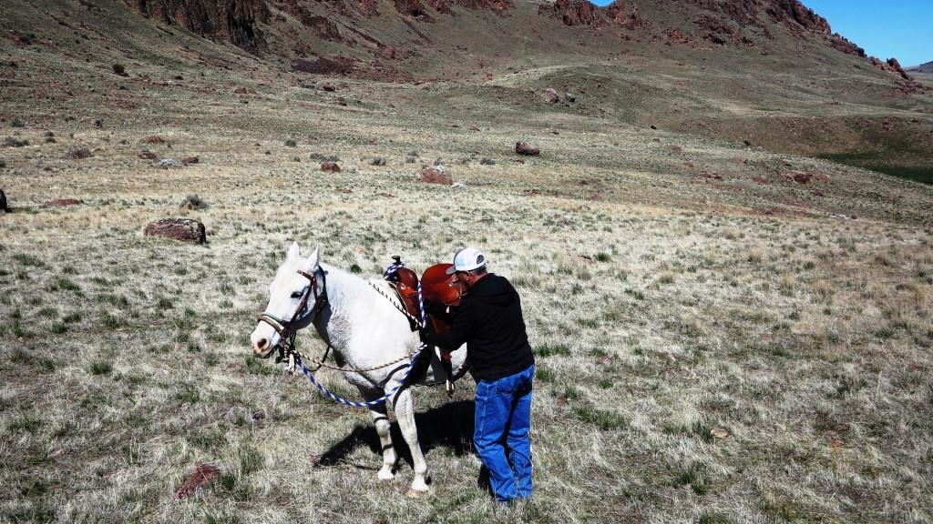
 By 10:45 we were all saddled and ready to go, the air had warmed a bit and the wind was still lite.
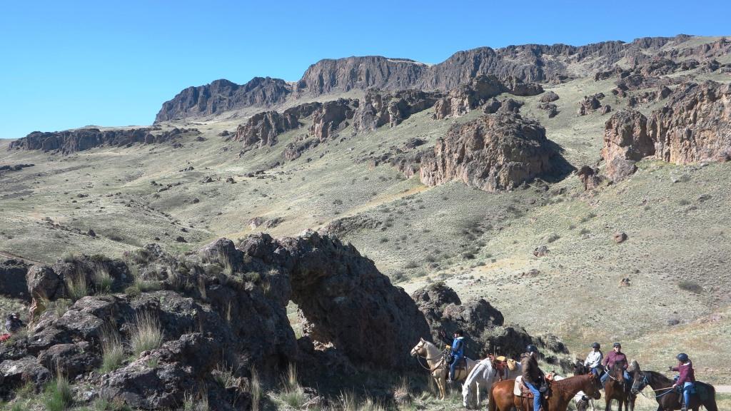

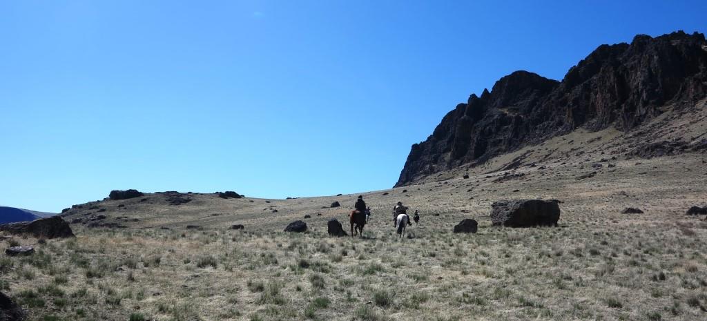
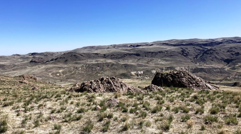
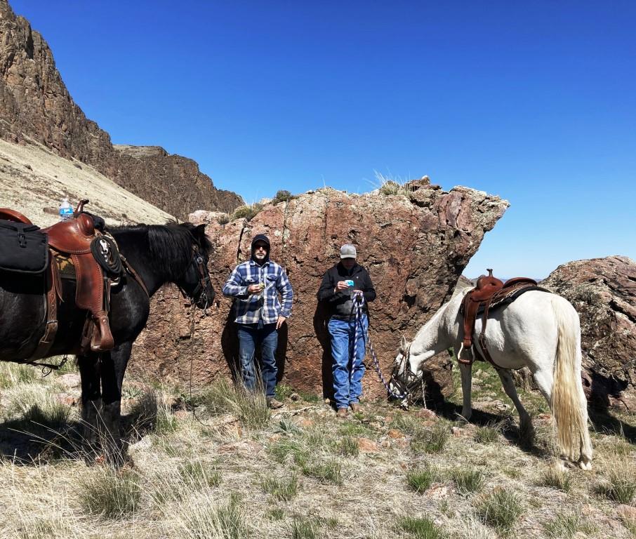
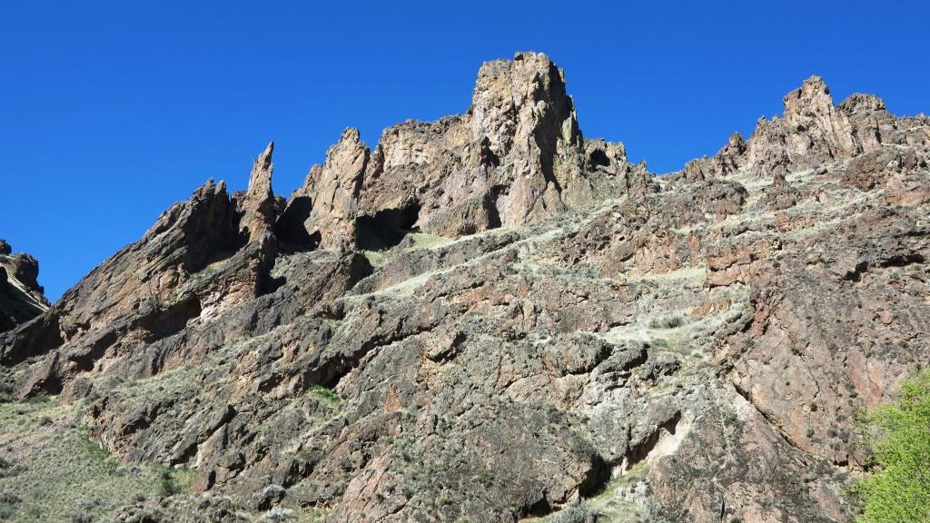
Tom and Sherry noticed a bridge rock formation that we all rode up a hill to view closer. After a number of pictures were taken we continued up to a bench. The wind was picking up so we rode near the rocked, which acted as a poor windbreak.