
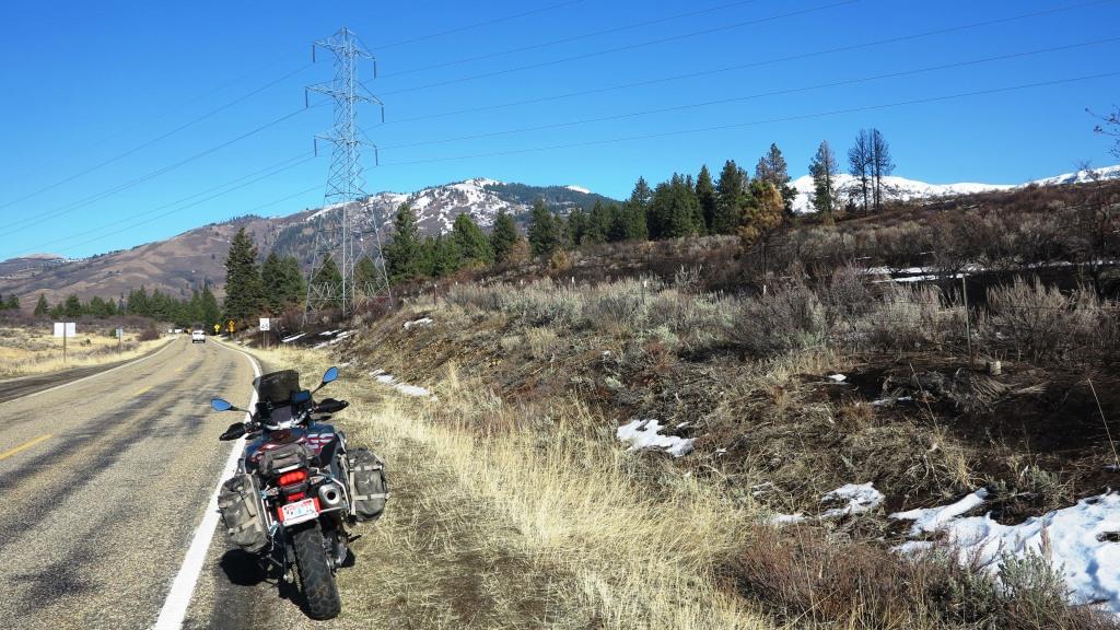
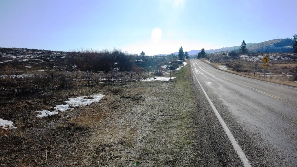
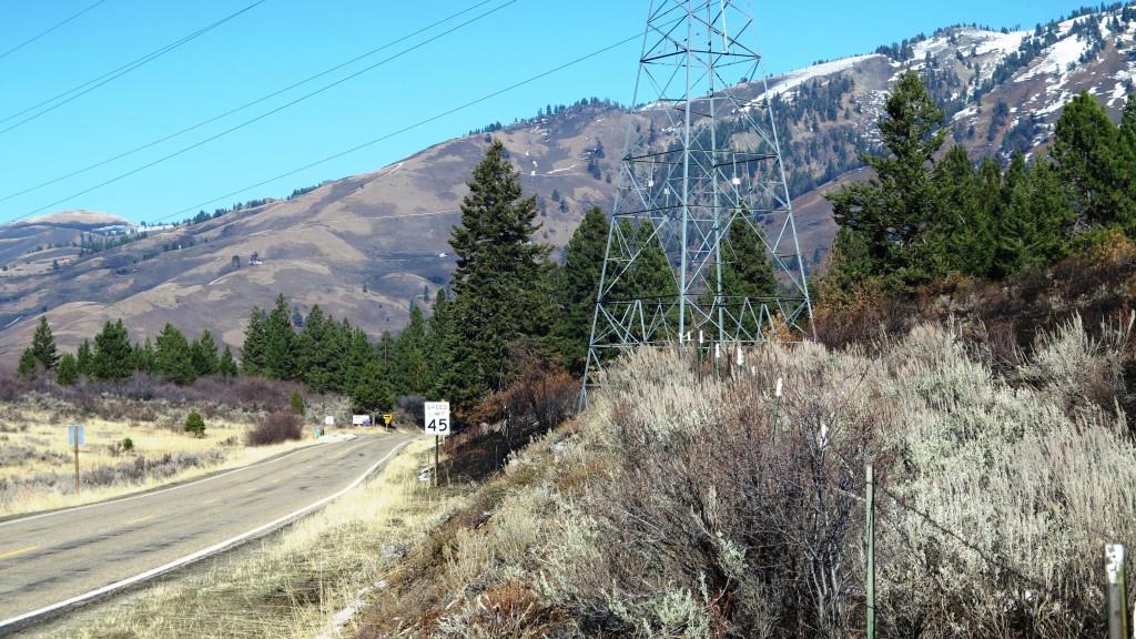
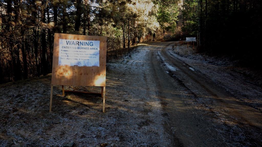
November 21, 2020 was a blue bird day for penguins, at 10:00 it was 33 degrees at my home, but the urge to get in one last ride while the roads are not snow covered was too great. I was curious about the Woodland Fire near Cambridge, so I dress for cold riding and headed for the Brownlee campground to see what damage was done on Cuddy Mountain. There is fire damage on both sides of Highway 71, but most was on the north side. There are still hot spots that the rain and snow have not completely put out yet, but it is very unlikely they can spread. No building along the road were damaged, but the black goes right to the edge of some of them. Cuddy is a patch work, black areas but also a lot of unburned areas.
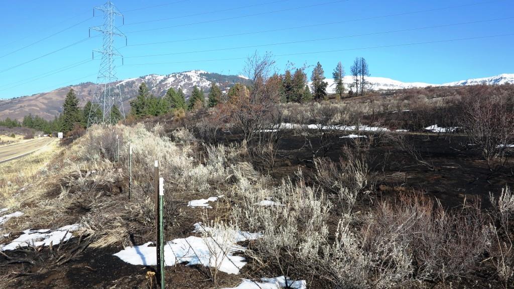

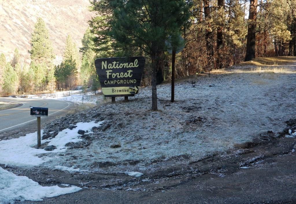
 Brownlee Camp ground did burn, but most of the big trees should be ok, in that area it mostly burned the brush. No idea what the condition of the trail on that part of the mountain are like, something to check out next summer.
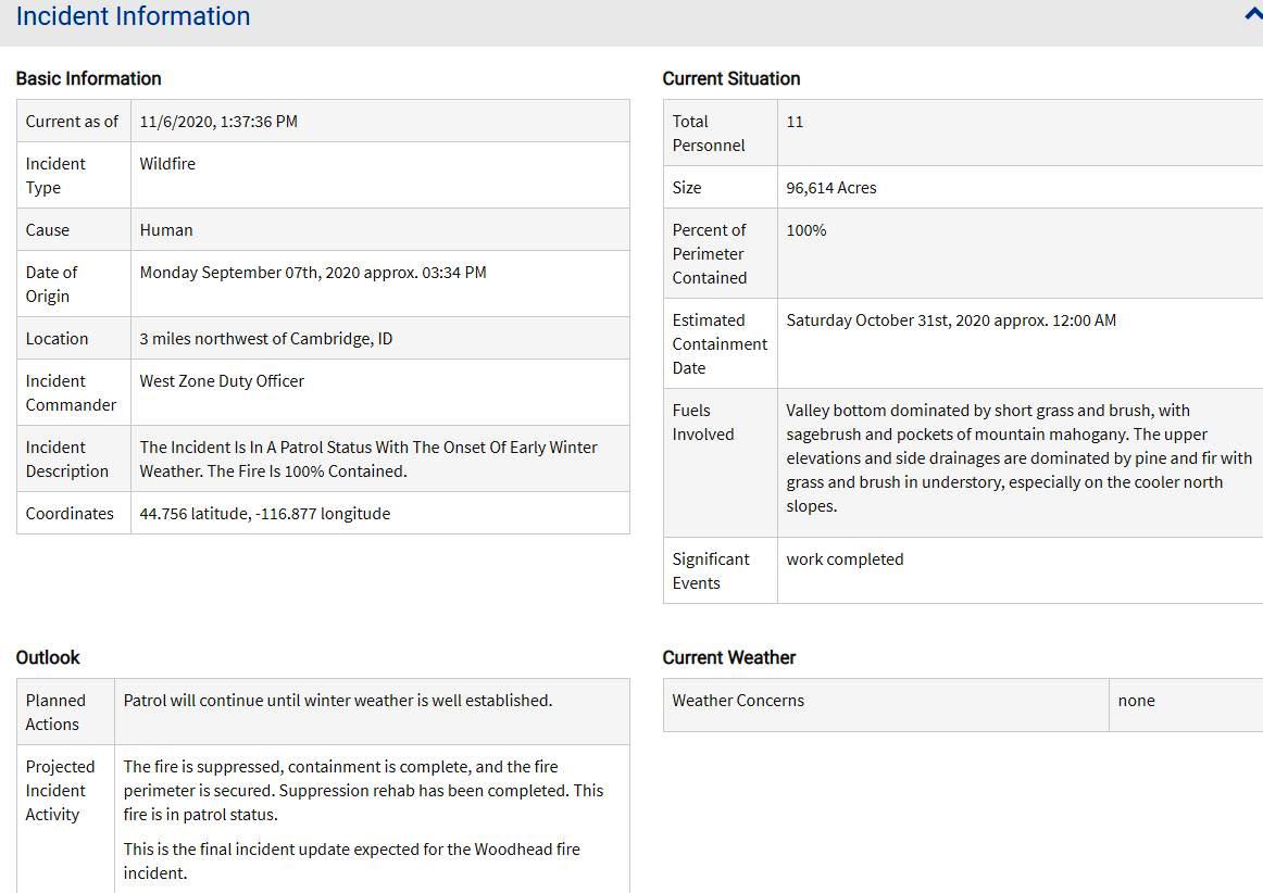
The Woodhead Fire burned almost 100,000 acres to date and is now 100% contained. The burned area is located east of Council, Idaho including lands in the Payette National Forest. Starting September 28, a team of Forest Service specialists conducted field assessments to determine the need for burned area emergency response (BAER) treatments. Specialists included hydrology, soils, engineering, botany, range, recreation, fisheries, archeology, and wildlife. BAER is a specific effort to reduce further damage due to the land being temporarily exposed in a fragile condition. Loss of vegetation exposes soil to erosion; water runoff may increase and cause flooding; sediment may move downstream and damage houses or fill reservoirs, putting habitat and community water supplies at risk. The BAER program is designed to address these situations through the key goals of protecting life, property, water quality, and deteriorated ecosystems.
Led by West Zone Hydrologist Melanie Vining, the Woodhead Fire BAER Team uses satellite imagery of the burned area to classify the landscape into low, moderate, and high soil burn severity. The fire on the forest burned in a mosaic pattern with most of the burned area classified as unburned, low severity, or moderate severity. The burned area was initially classified using the satellite imagery and adjustments in classification were made based on ground surveys to yield a final soil burn severity map.
The entire burned area is mapped, though the field work and treatments identified by the Forest Service BAER Team are limited to only the acres of burned area on the Payette National Forest. A BAER Plan summarizing the assessment results and describing the proposed treatments has been prepared and is pending approval. Approved treatments will be implemented over the next 12 months using federal dollars on federal lands. Areas of concern for watershed impacts are in places that experienced higher burn severity, namely in Crooked River, No Business Basin, and Brownlee Creek.
After the fire burn severity map is completed and the BAER treatment plan is approved additional information will be provided to the public. While the BAER program does not prescribe treatments on non-federal lands, the assessment and hydrologic risk analysis can be useful to adjacent and downstream landowners to inform their own range of possible treatments. The Woodhead BAER team continues to share information with County officials and other agencies who in turn coordinate with affected landowners.