

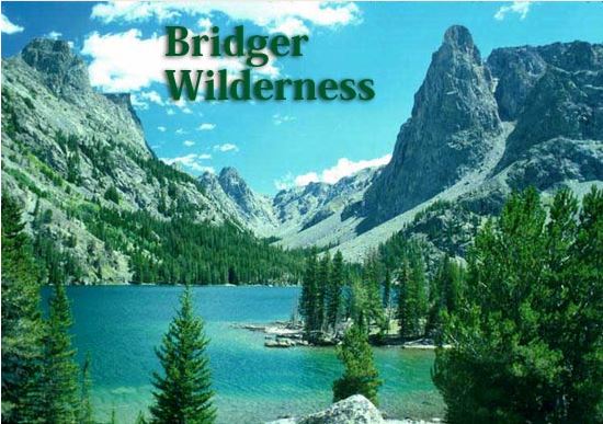
The 428,169-acre Bridger Wilderness is located along the Continental Divide on the west slope of the Wind River Range in Wyoming. It was designated a Primitive Area under Department of Agriculture Regulations in 1931, and later made part of the National Wilderness Preservation System with passage of the Wilderness Act in 1964. In 1984, its original 392,169 acres were increased by 36,000 acres when the Wyoming Wilderness Act was signed into law. The Bridger Wilderness is administered by the Pinedale Ranger District of the Bridger-Teton National Forest.
Topography
The intricately faulted Wind River Range is dominated by an igneous and metamorphic core. Enormous compressional forces in the earth thrust the block of granite into the air. The glaciation and erosion that followed carved the range, leaving 13,804 foot Gannet Peak the highest mountain in the Wilderness and in Wyoming.
Glacial action left cirques, kettles, U-shaped valleys, hanging troughs, 1,300 lakes, and left “erratics”, boulders strewn about the lowlands. The sedimentary rocks that once overlay the granitic core of the range have been stripped from the mountains by erosion. Remnants of the sedimentary rocks remain near Green River Lakes.
The Wind River Mountain Range has seven of the ten largest glaciers remaining in the contiguous United States. The Green River originates in the Bridger Wilderness. The Green River joins the Colorado after 1,500 miles and empties into the Gulf of California. The Green River drains most of the west side of the Wind River Range. The Sweetwater River drains the southern end of the range and flows into the Platte River and ultimately the Gulf of Mexico.
Access
US Highway 191, the major highway between Rock Springs and Jackson, Wyoming, lies west of the Wind River Range. Trailheads are reached via roads which are clearly signed at intersections with Highway 191. Both Jackson and Rock Springs have commercial air and bus lines. Pinedale has a paved, non-commercial public airstrip located about 6 miles south of town. Shuttle services between Jackson and Rock Springs, and trailheads, are available from local private businesses.
Trails
There are over 600 miles of trails in the Bridger Wilderness. Most well-used trails are cleared early in the season, but fallen trees may be encountered on secondary trails. Winter snows generally do not leave the high passes and highest trails until mid-July. Stream flows are high and swift during snowmelt runoff in June and July, and some stream crossings can be hazardous. Check at the Pinedale Ranger Station Office, or call them at 307-367-4326, before beginning your Wilderness trip. Books with detailed trail descriptions are available at local sporting good stores and bookstores.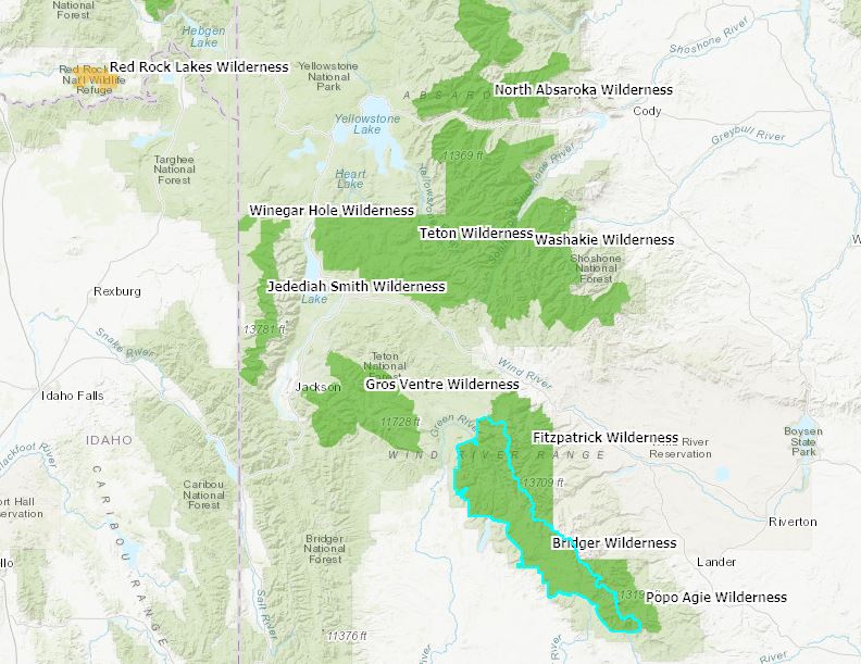 MAP
MAP
bridger_wilderness_recreational_livestock_application